Building
Speeds the time to review and issue permits and get to a Certificate of Occupancy, to help communities grow and prosper.
Learn More
Accela provides a market-leading platform of SaaS solutions that empower state and local governments to build thriving communities, attract and grow businesses, and deliver citizen services. From planning, to building, to service request management and more, Accela’s SaaS offerings level the playing field for small and medium governments and enable small agencies to leverage big city technologies.
ACCELA CIVIC APPLICATIONS
Our simple yet sophisticated, out-of-the-box solutions are designed to ease implementation and reduce overhead and maintenance costs.
The modern, scalable SaaS applications, mobile apps, data analytics and task management tools can speed up processes anywhere from 30 to 50 percent, depending on a city’s previous solution.

Speeds the time to review and issue permits and get to a Certificate of Occupancy, to help communities grow and prosper.
Learn More
Automates and tracks plan reviews, zone variance requests, and code enforcement to improve citizen satisfaction.
Learn More
Provides an intuitive front end for citizens to submit requests, and manages those requests through to resolution.
Learn More
Serve business customers better with fast, responsive business licensing
Learn More
Improve occupational licensing with online access and fast response times
Learn More
Simplifies and speeds the processes of alcohol license application, review, issuance, inspection and enforcement.
Learn More
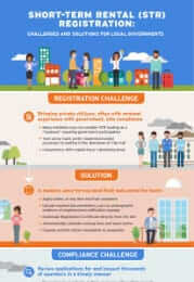
A solution to automate the short-term rental registration process in your community to protect citizens, increase revenues and expand tourism.
Learn More
Navigate regulatory nuances with a cannabis regulation software solution that responds and grows with you.
Learn More
Helps agencies efficiently manage service delivery in the new normal of COVID-19.
Learn More
Modernizes mobile fire inspections, permit processing and provides public access to pay fees and submit applications online so fire departments can streamline operations.
Learn More
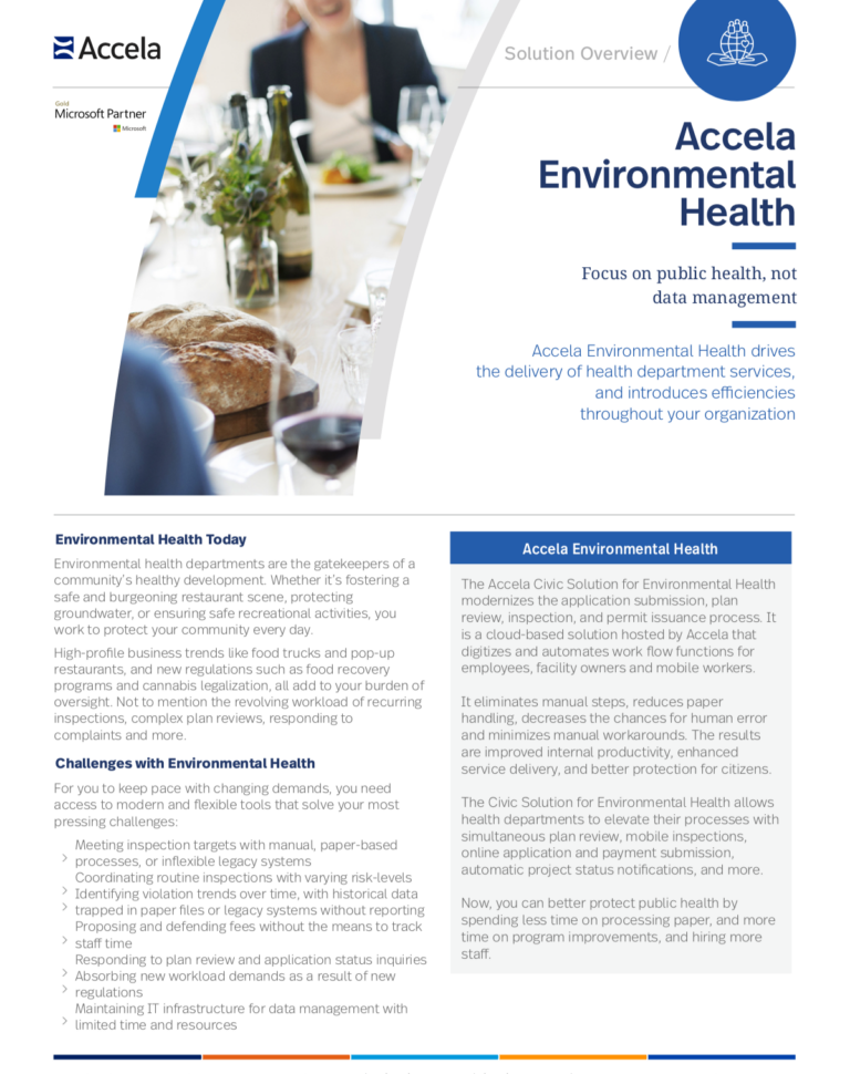
Experience a modern approach to health department inspections and permitting.
Learn More


Palo Alto, California, Moves Permitting and Inspection Online and Takes Advantage of Open Platform to Build and Deploy Civic Apps
Learn more